Hiking July 2026
Pico La Concha
Sierra Blanca · Andalusia, Spain
A Sierra Blanca circuit completed on a second attempt, after heat, exposure and running out of water forced me to turn back the first time.
The experience
After a period focused on my studies, I chose La Concha for my return to the mountains from Istán. I had been told that this variant was no easy walk, but I arrived for that first attempt in June with too much confidence, expecting a route much like others I already knew.
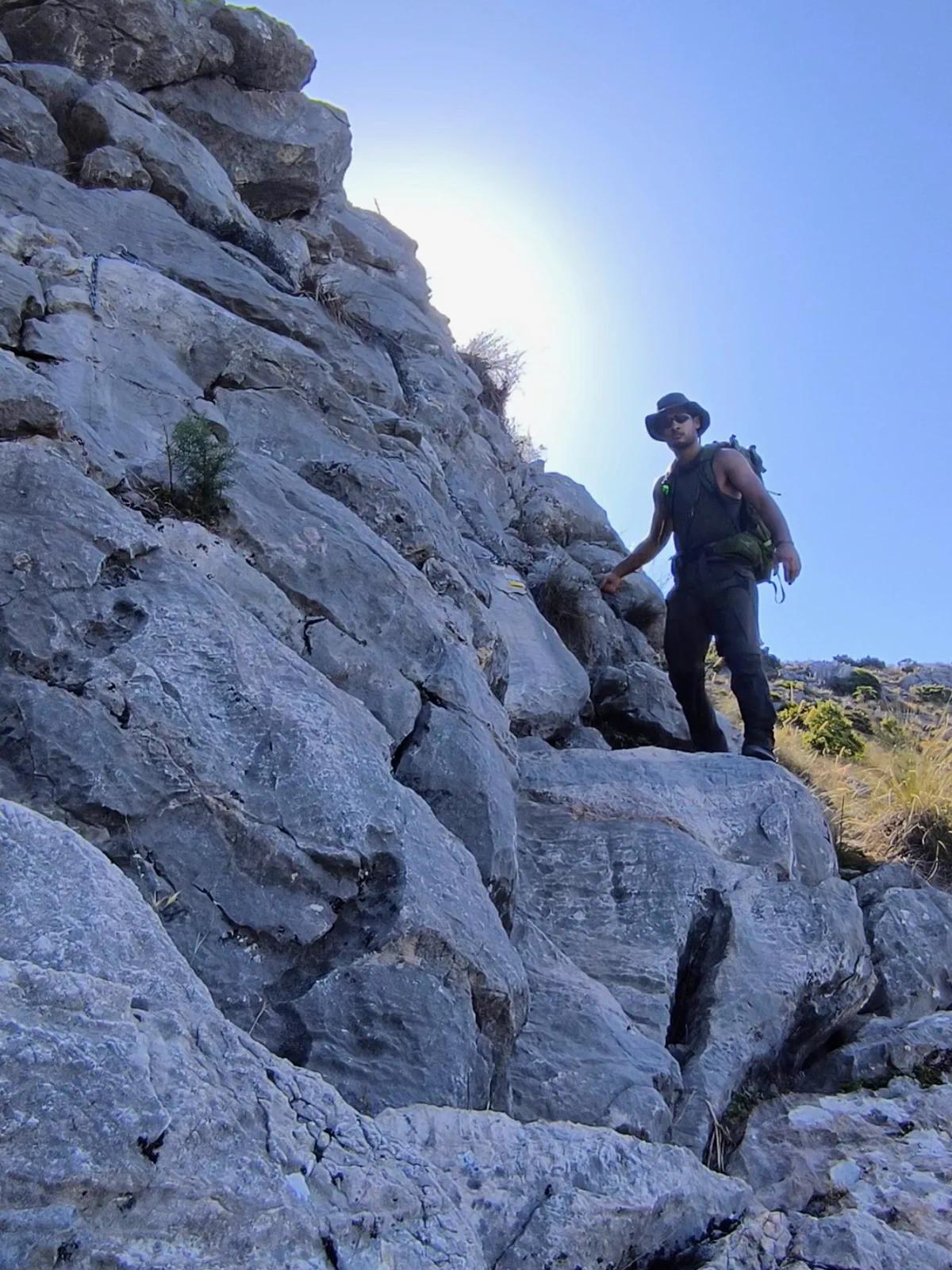
The opening section offered some shade, until the sun rose and completely changed the nature of the route. For long stretches there were no trees or shelter, the ground was rocky and some exposed passages required using chains anchored into the rock. Waymarkers displaying coordinates and emergency information made it clear that this was an itinerary that demanded attention.
Before I could complete the circuit, I had exhausted the water reserve I was carrying. Continuing was not responsible, so I gave up the objective and headed back towards Istán. The return was demanding because of the heat, fatigue and lack of shade, but turning around was the right decision: that first outing ended without the summit and with a far more accurate understanding of what the route required.
I returned in July with a much more conservative plan: a substantially larger water reserve, food, a hat and a backpack suited to carrying the equipment. This was not a universal recommendation about quantities, but my personal response to the first attempt and a way to face the exposure again with a much greater margin.
This time I reached Pico La Concha, continued to Cerro del Lastonar and passed Cruz de Juanar before returning towards Istán on the Ojén–Istán route. Completing the circuit that had forced me to retreat weeks earlier gave particular weight to the views across Marbella and the Costa del Sol.
The experience left one practical lesson: altitude and proximity to a city are not enough to judge how demanding a route can be. Sun exposure, distance, elevation gain and the absence of shade can change it completely, and planning has to reflect those actual conditions.
Route highlights
- Views from Pico La Concha across Marbella and the Costa del Sol
- Completing a circuit that had previously forced me to turn back
- Pico La Concha, Cerro del Lastonar and Cruz de Juanar
Visual selection
Moments from the activity
Reference track
Download GPX
This file provides a reference track and elevation profile for the itinerary. Conditions change: check maps, forecasts, equipment and your plan before setting out.